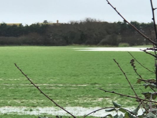
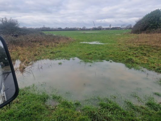
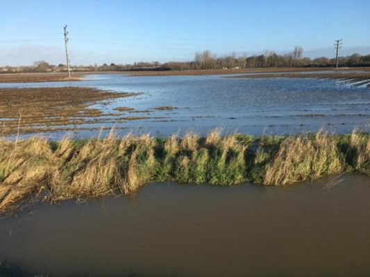
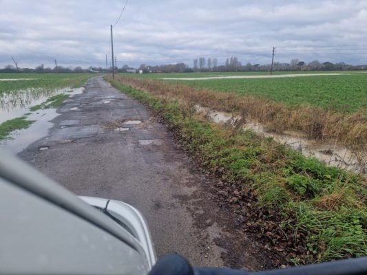
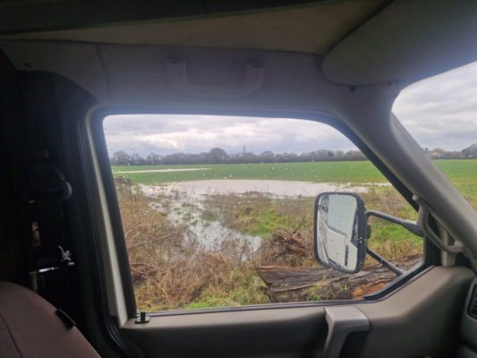
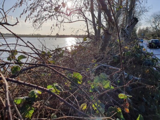
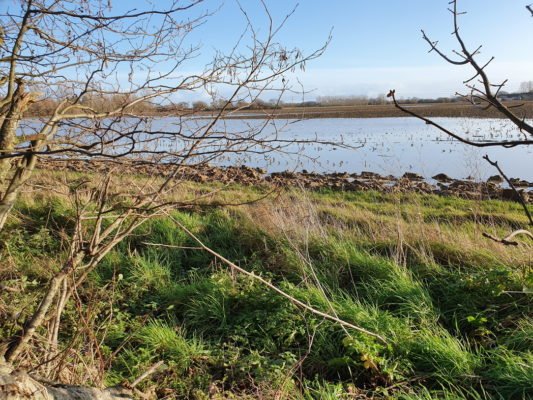
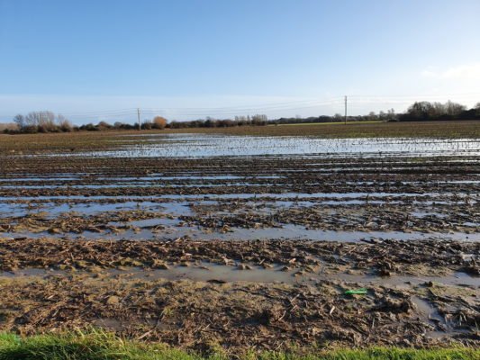
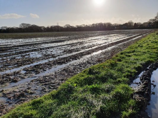
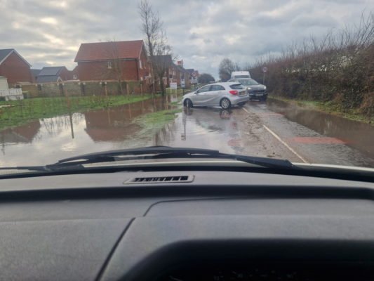
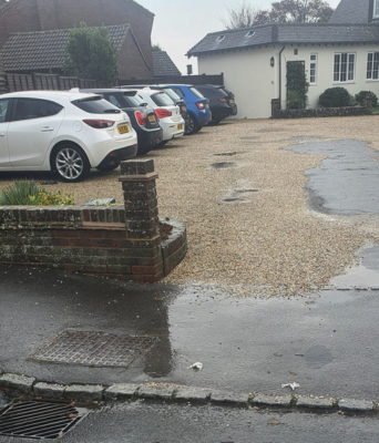
This page contains images of flooding and sewage problems.
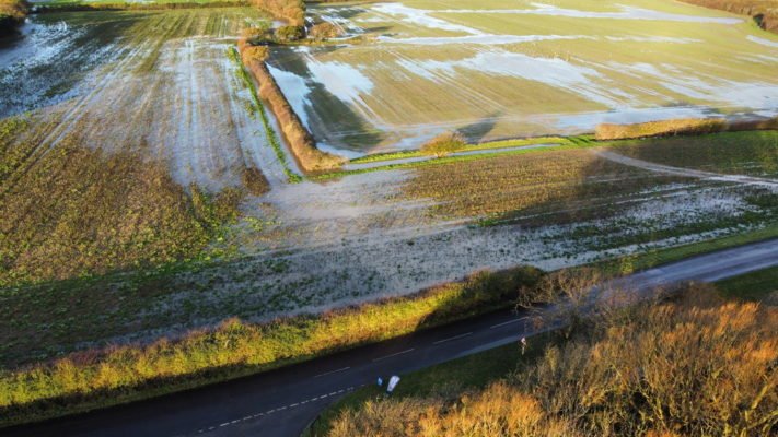
The top part of this page contains images of flooding grouped by relevant proposed site. They were all taken in or in the near vicinity of the site in question. The planning application numbers are all all hyperlinked so just click on the number and you will be taken to the CDC planning application page
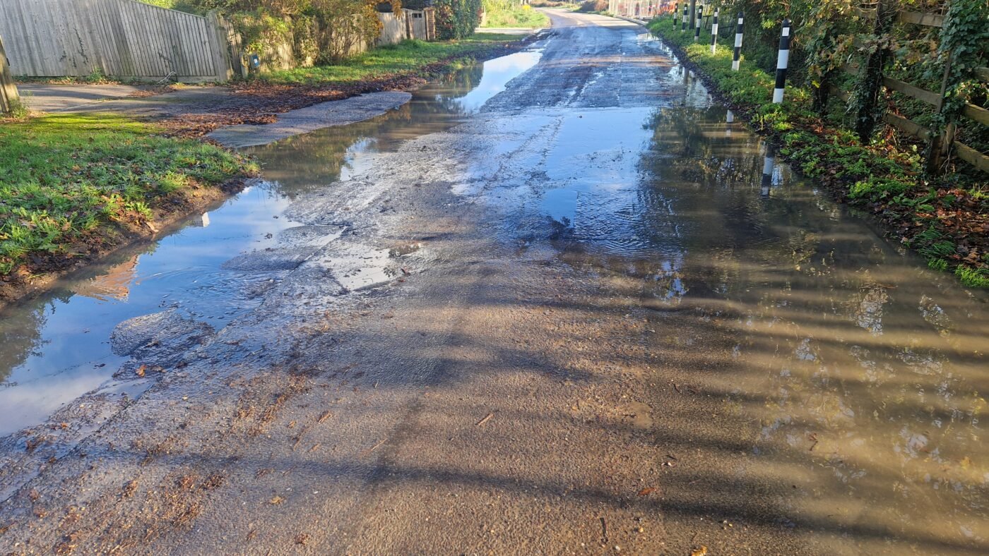
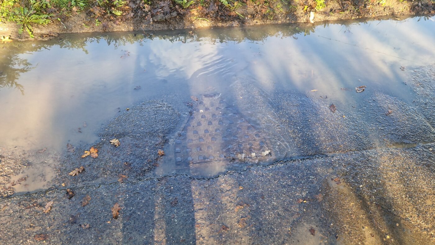
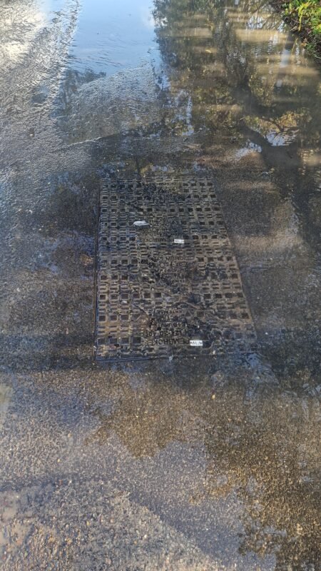
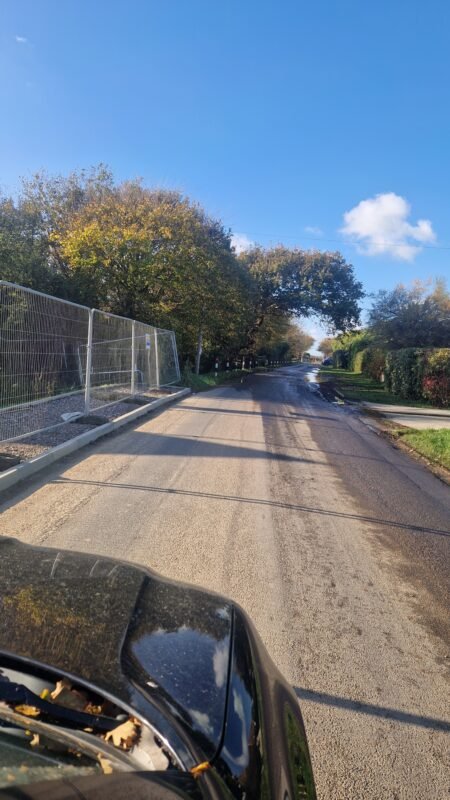
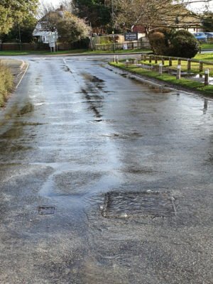
These pictures were taken in Clappers Lane just by the Beeches and near David Wilson’s Fossil Bay Development on 17th November 2025 a week after quite heavy, but no means exceptional, rain. Both CDC and the Inspector have previously expressed concerns about adequate sewage capacity for the new site.
The water is a mixture of rain water and sewage with loo paper clearly visible on the manhole cover.
This group of images is based on the Barratts applications for a total of 325 houses as well as retail and commercial use. The application numbers are 22/02235/OUTEIA and 22/02214/FULEIA

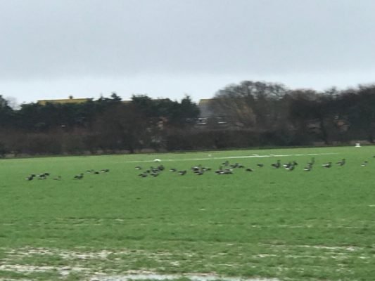
The picture above was taken in this actual field on 17th February 2024 and shows between 500 and 1,000 geese.
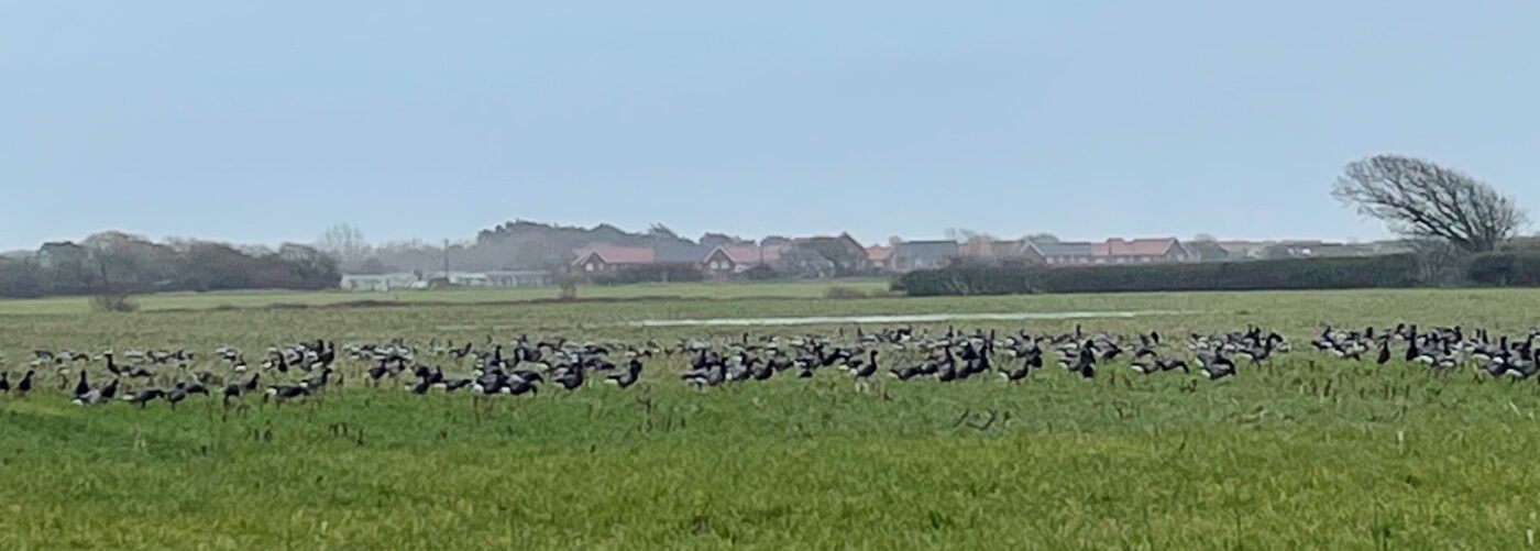
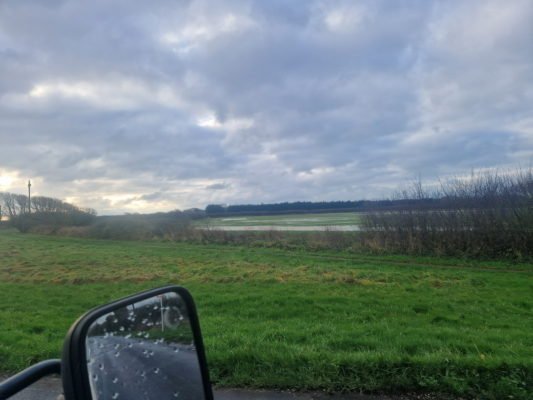
This last image was taken at 16:40 on the 5th March 2024 again in this Stubcroft field.
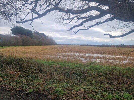
The group of images below are around Gladmans application opposite Birdham Stores for another 150 houses on this green field site. The application number is 21/01830/OUT but there is a second application here 23/1497/OUT
The following images are of Bracklesham Lane where another application is being considered, again on a green field site for 62 houses. The application numbers is 21/01376/OUT
To see a video of recent flooding right by this site click here or on the image below
Sewage and its safe handling is a problem on the Manhood Peninsula
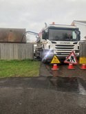
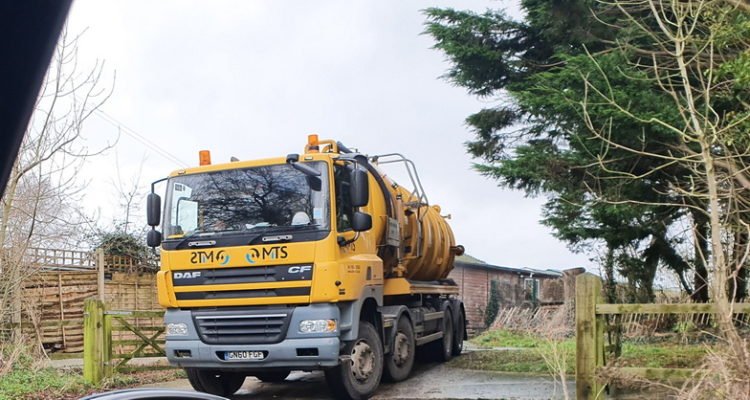
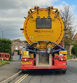
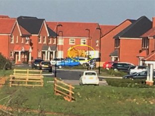
We have collected various images from overwhelmed drains to many instances where Southern Water have to employ tankers to pump out sewage from the already groaning network. This entails drivers often sleeping in their cabs all night in order to minimize the times peoples homes are flooded.

